Journal
Chukryeongsan: Choose Your Trailhead Before the Summit
Locate your entrance and return route, then give the woodland and ridges your attention.
Before setting off for Chukryeongsan, save the name of the place you intend to return to. The mountain belongs to both a Gapyeong landscape and a Namyangju hiking itinerary, but those descriptions do not lead to the same entrance. A descent towards the wrong side can leave you with a new journey to arrange after the walk. For a day out from Gapyeong, start by locating your trailhead, then build a route that brings you back to it. The summit can remain a goal without becoming the only measure of the day.
One mountain, different entrances
The Korea Forest Service lists Chukryeongsan as an 887.1-metre mountain spanning Sudong-myeon in Namyangju and Sang-myeon in Gapyeong. Haenghyeon-ri and its Korean pine woodland lie on the Gapyeong side; Chukryeongsan Recreational Forest provides an entrance on the Namyangju side. Chiong Art Center is at 300 Sumogwon-ro in Gapyeong’s Sang-myeon. Sharing a township with part of a mountain does not make its summit a neighbourhood stroll. Separate the journey to the entrance from the climb, and check the actual transport connection for the side you choose.
For a summit-oriented outing, consider the recreational forest at 299 Chukryeongsan-ro, Sudong-myeon, Namyangju. Its official introduction includes a hiking map and identifies Suribawi and Namibawi rocks. The Forest Service describes a circuit from the ticket office past those rocks to the summit, returning through Jeol Pass to the ticket office. Save these Korean names: 수리바위, 남이바위 and 절고개. They give you something specific to compare with signs on the ground. This is a framework to discuss with the forest office, rather than confirmation that every section is open today. Check the proposed sections before committing to the climb.
If you prefer to start at Jathyanggi Pureunsup on the Gapyeong side, use that facility’s own map. Gyeonggi Province explicitly distinguishes unmarked pine-nut harvesting tracks from hiking trails. It also warns that visitors who leave a car at Jathyanggi and descend across the ridge to the recreational forest must get back to their original starting point. A crossing and a return walk require different transport plans. For less experienced companions, an apparent connection on a map is a poor reason to improvise a traverse. Save your departure and return under the same entrance name unless you have deliberately arranged otherwise.
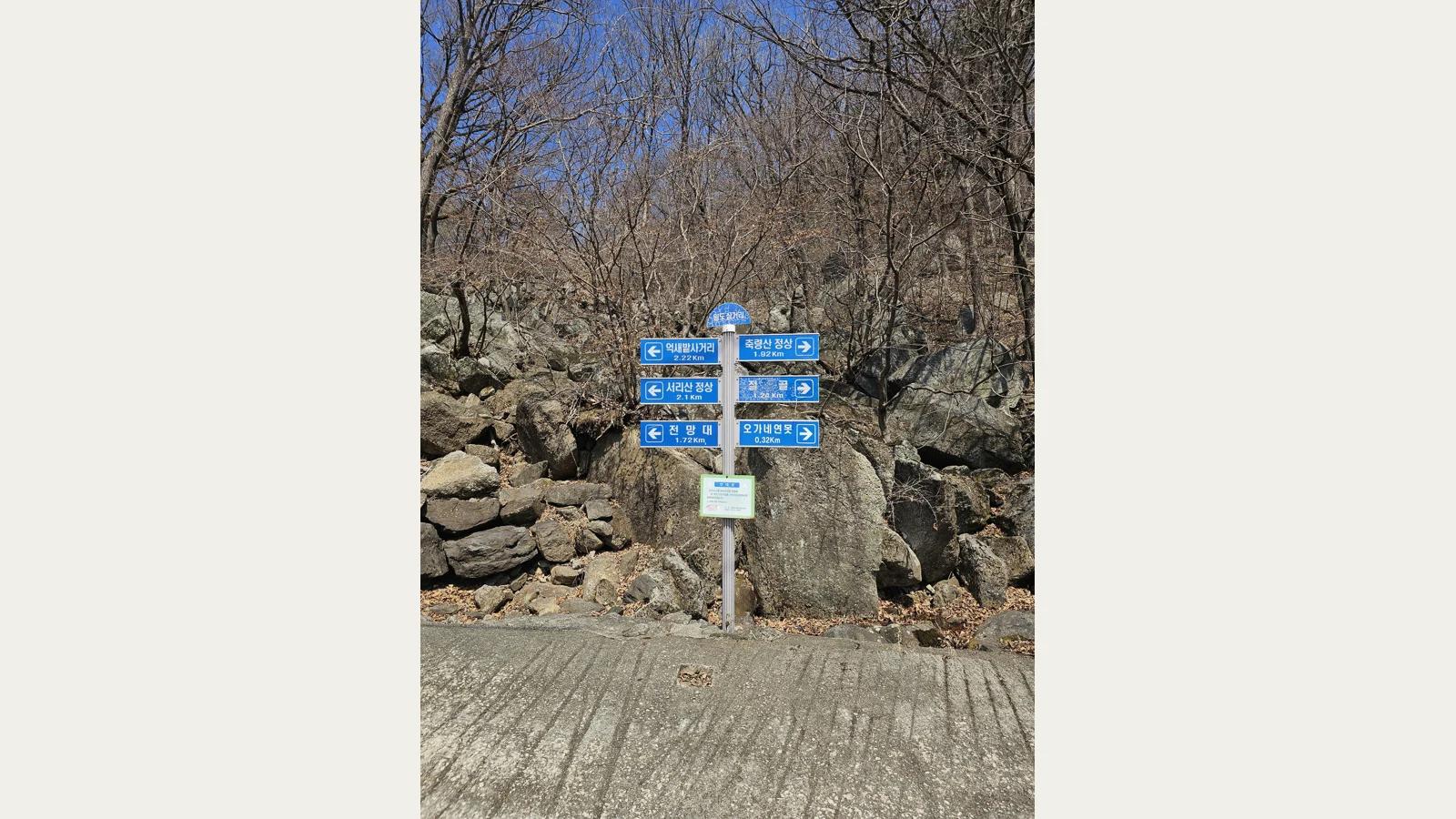
Photograph useful junction signs as you pass them. The blue signpost shown here has arrows pointing towards several destinations, a compact illustration of why following the word “summit” is only half a navigation plan. Read the name of your return destination too. A broad downhill track is not necessarily heading towards your car or bus stop. Compare the signs with your saved map while everyone is together. If the two disagree, establish where you are before continuing. The useful record is the direction you will recognise on the way back, rather than the number of photographs taken.
November brings a practical change at the recreational forest. Its visitor rules, checked on 4 November 2026, list opening hours of 07:00–17:00 from November through March, with day visitors admitted from 07:00 to 16:00. The admission cutoff is not a recommended time to begin a summit hike. Allow for the climb, descent and pauses before closing. Plan an early arrival; if travel delays leave too little time, shorten the outing or choose another day for the summit. These general hours also do not establish whether a particular mountain trail is open. Ask about the route itself.
From the map to the ground
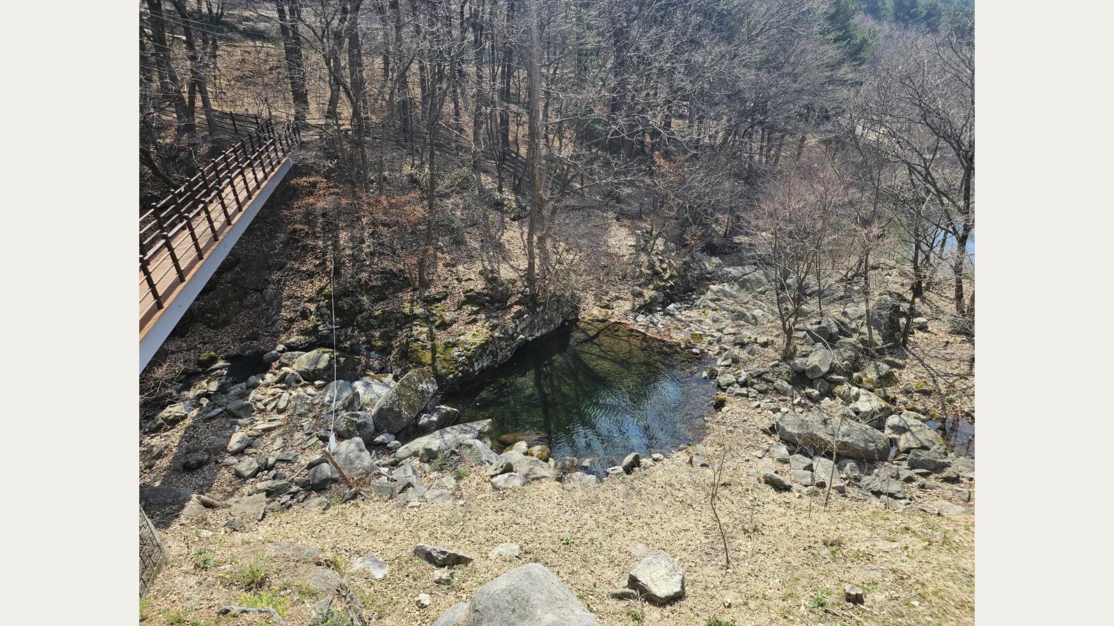
Once walking, look at how the mountain works at a smaller scale. A photograph of a low pocket of water brings rounded stones, a timber walkway and slender tree trunks into the same frame. It suggests a question worth carrying onto your chosen open route: where does water collect, and how has the path been placed beside it? You do not need to locate this exact pool to use that question. Stay on the designated path and choose a place where stopping will not obstruct others. Observing water does not require stepping into it or treating it as drinking water.
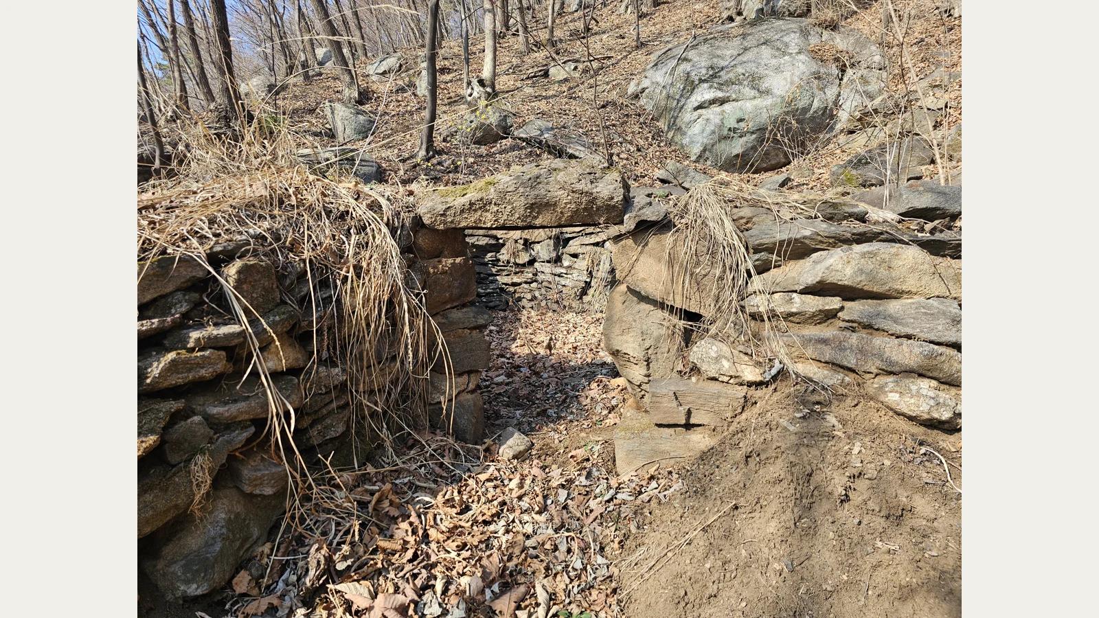
Another photograph, identified by its photographer as a charcoal kiln ruin, shows low stonework enclosing a leaf-filled hollow beside larger rocks. It introduces a human structure into a landscape easily described only as woodland. Look at how the stones make a boundary and where the empty space remains. The picture cannot establish the kiln’s age, its operators or its output. Add those details only where an on-site explanation supplies them. If you encounter a similar feature along an authorised route, examine it from outside. There is no need to enter the hollow, move stones or leave the marked trail to find it.
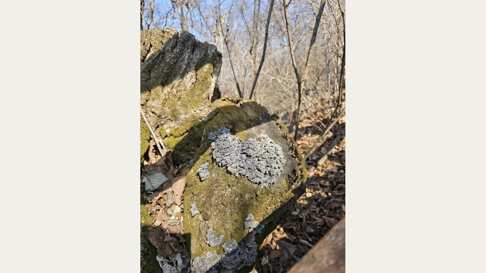
A close view of lichen reduces the scale again. Pale grey growth spreads across a greenish rock surface, with fine branches and leaves behind it. Even on a day aimed at a high ridge, a level stopping place can offer these smaller patterns. You need neither a species list nor a guessed plant name to compare a rounded edge with a rough patch of stone. Leave the surface undisturbed. Looking without turning rocks or scraping them lets the detail stay where it belongs. Such pauses give the walk content before the summit is reached, and if you turn back early.
Treat the rocky sections towards Suribawi and Namibawi as a different undertaking from a woodland stroll. The Forest Service describes exposed rock and a cliff edge beyond Namibawi. The presence of fixed protection does not make a route suitable for every walker. If scrambling feels uncomfortable, or wind and wet surfaces make footing uncertain, turn back before the difficult section. Match the pace to the person who needs most care, and keep cameras away while negotiating narrow ground. Take photographs from a stable stopping place rather than stepping backwards to widen a composition.
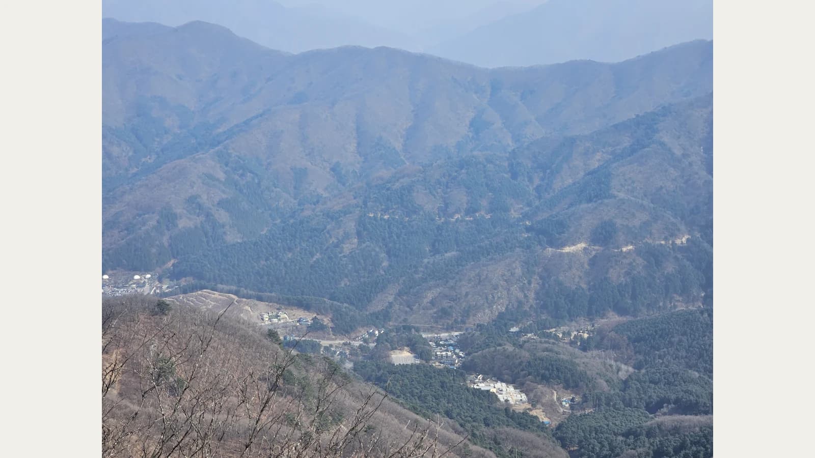
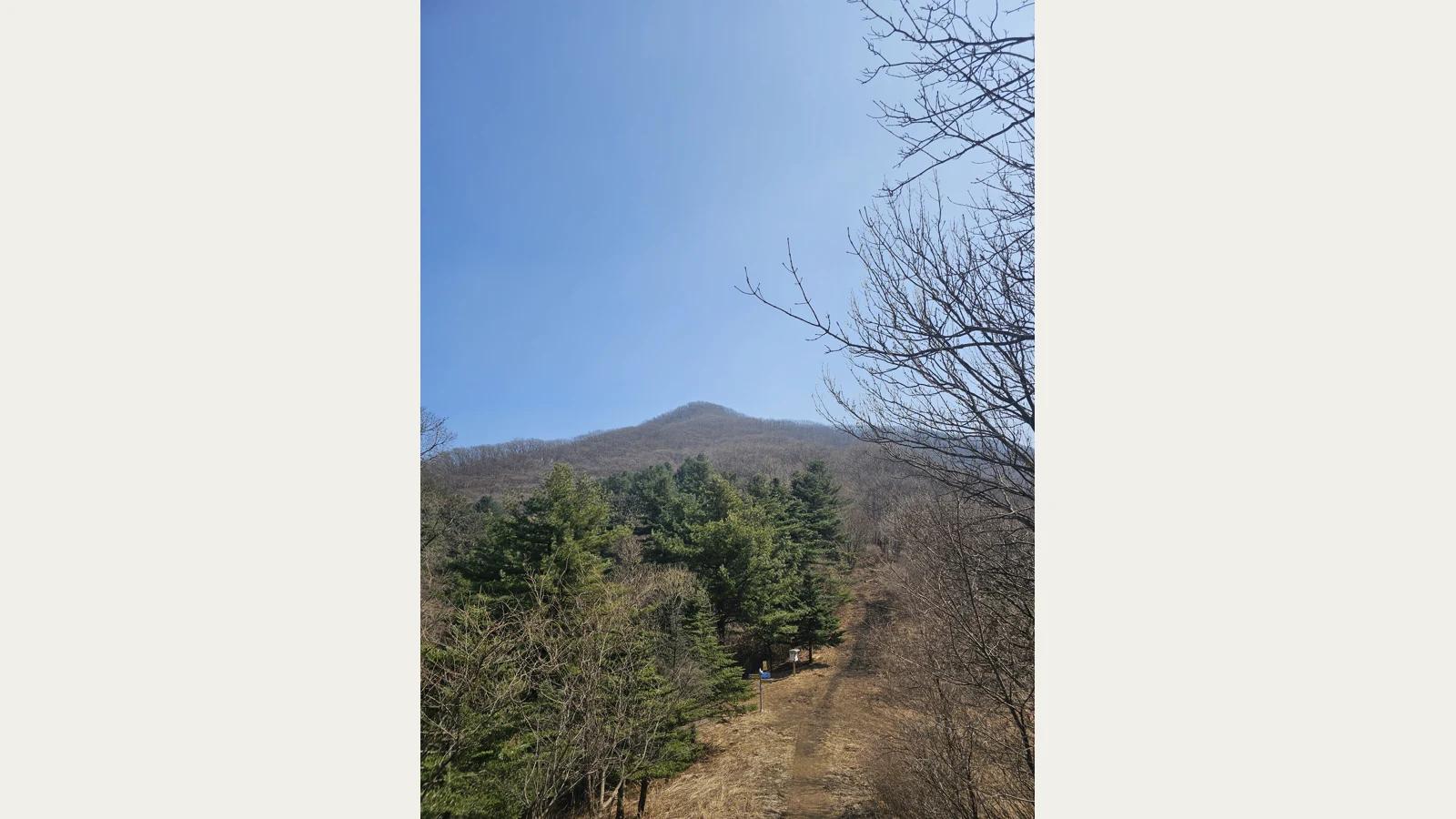
Higher views can be satisfying without identifying every distant peak. In the photograph of the summit area, dark conifers stand below a rounded ridge. The wider view layers slopes above a valley dotted with small buildings. Compare the dark face of a nearby hillside with the paler contours farther away. In poor visibility, concentrate on the shape of the ridge you can see rather than searching for a promised panorama. Remain within the designated route. The changing width of the view during an ascent can explain the mountain more clearly than a single photograph at its highest point.
Read the way back
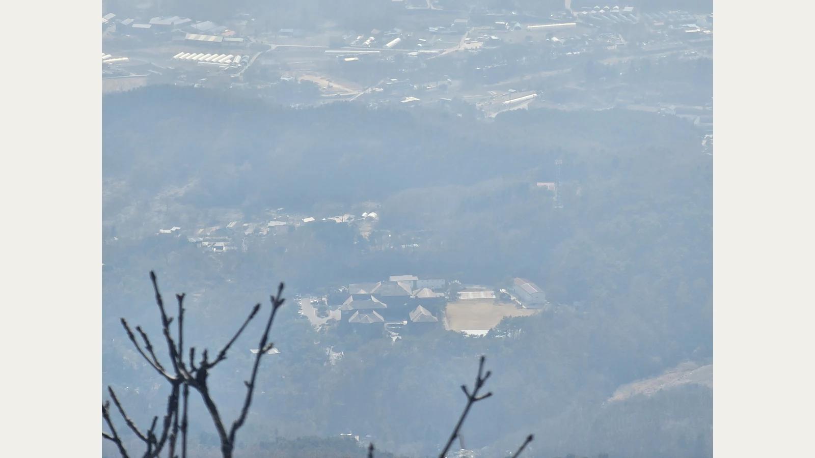
Before descending, bring the map back into the conversation. A closer valley view shows houses and roads beyond foreground branches, but a visible settlement does not necessarily contain your parked car. At a signed junction such as Jeol Pass, recheck the direction of the entrance saved at the start. The photographs in this article show different Chukryeongsan scenes; they are not a verified itinerary linking all seven in one walk. Let the return route and local access instructions determine your day. Keep enough phone battery for the final transport connection as well as navigation.
Plan the main meal after returning to your chosen entrance rather than relying on a mountain sales point. From Namyangju, decide whether to eat before travelling back into Gapyeong; from a Gapyeong-side start, consider food along the return towards Sang-myeon. Check the selected restaurant’s actual opening and available dishes. Carry water and a simple snack for the walk, rest only where permitted and take your waste away. For public transport, confirm both the outward stop and the return service before departure. A meal is easier to enjoy when getting back across the mountain is not an unresolved task.
What stays with you may be a turn rather than a height: arrows at a junction, the hollow inside stonework, lichen on a rock, or a valley appearing between ridges. Carry that attention to changing views into Chiong Art Center’s hanok and garden. A doorway can reveal a broad courtyard, while the space beneath the eaves brings attention close again. On the mountain, junctions determine the direction of travel; within a hanok setting, doors and courtyards help select what comes into view next. Consult Chiong’s introduction and visitor guidance when planning a visit, and look for one place in each setting where your field of vision changes.