Journal
A Listening Walk beside the Water in Yongchu Valley
Give one stretch of mountain water your attention, with time left for the walk back.
A visit to Yongchu Valley can begin with a question about sound: where does the stream become a rush, and where does it settle into a quieter pool? In Seungan-ri, Gapyeong-eup, you can make an outing from listening and looking along a small part of the valley. There is no need to collect every named scenic spot. This walk starts with the visitor information centre, follows a suitable open section beside the stream, and returns along the same route. It suits a group that wants time to stop together. Climbing to the summit of Yeoninsan would be a separate undertaking, with different preparation.
Check the recent trail history before choosing your walk. Gyeonggi Province announced that the Yongchu Valley trails, including Sori-gil and Myeongpum Valley Trail, would reopen on 11 September 2026 after flood repairs. Older reports describing a closure therefore need to be read alongside that announcement. Reopening does not guarantee access on every subsequent day. Consult the current park and Gyeonggi Dullegil notices before departure, then follow instructions at the entrance. If rain or poor ground conditions affect your visit, keep the option of shortening the walk. The purpose is to spend time beside the stream, rather than reach a predetermined endpoint regardless of conditions.
Save both Yongchu Valley and the Yeoninsan Provincial Park visitor information centre on your map. Check that the destination is in Seungan-ri, Gapyeong-eup, Gyeonggi-do: Korea has other valleys with the same name. Chiong Art Center is at 300 Sumogwon-ro in Sang-myeon, so treat the transfer as a separate journey. For a rail trip, arrange the final connection from Gapyeong Station and the pickup location for your return. Drivers should distinguish the information centre from the parking area available that day. Keep the Korean place names on your phone as well as the English names; they help when comparing map results or asking for directions.
At the information centre, ask about the particular section you want to use. Find out which paths are open, whether stream crossings are involved, and whether you can return along the same route. Sori-gil and Myeongpum Valley Trail are useful names to recognise, rather than treating every line on the map as one continuous easy walk. Agree on a reason to turn back before setting off: fatigue, uncomfortable footing, or the time needed for the return connection. In an out-and-back walk, the ground already covered still has to be walked again. Leave enough energy to enjoy that second half.
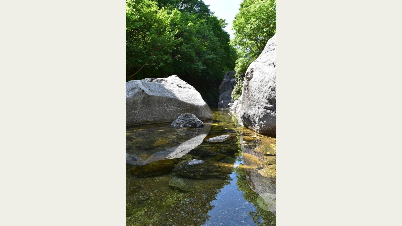
Begin by comparing the size of the rocks with the width of the water between them. In the first photograph, large grey boulders narrow the stream, while smaller stones remain visible beneath the surface. From the designated path, look for a narrow passage and compare its sound with a wider stretch. You do not need to approach the water to listen. Pause conversation briefly and watch the direction of the flow. With children, a question such as which gap the water passes through is more useful than asking them to identify rock types. It gives everyone something specific to look for.
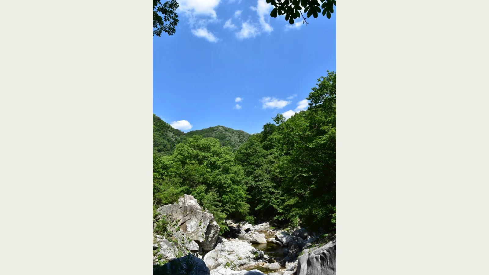
Lift your eyes from the stream to the opening above it. The second photograph places rocks beneath trees on both sides, with blue sky between the branches. Compare places where the canopy closes over the water with places where the valley opens. The same stream can feel broader when more sky is visible. If taking a photograph, choose a secure standing place before composing it, and avoid stepping backwards while looking at a screen. Keep the route clear for other walkers. A few minutes considering how water, trees and sky fit together can be more rewarding than searching for a viewpoint farther uphill.
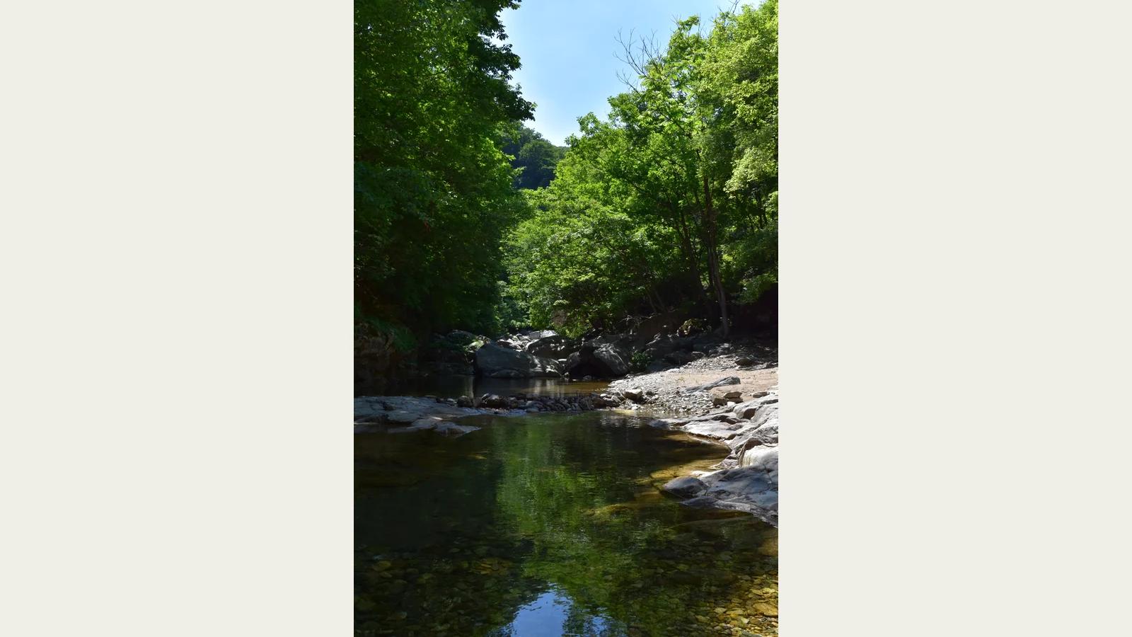
At a stiller pool, distinguish the stones beneath the water from reflections on its surface. Nearby rocks may be visible through the water while trees appear across the more distant part of the pool. In the third photograph, shade occupies much of the stream and makes the brighter opening beyond it stand out. Clear-looking water does not establish its depth or the safety of its bed. Gyeonggi Province has identified deep areas, including Yongchu Falls, for special safety management. This itinerary involves no swimming or wading. Keep to the permitted trail and respect barriers, even where a photograph makes the water appear inviting.
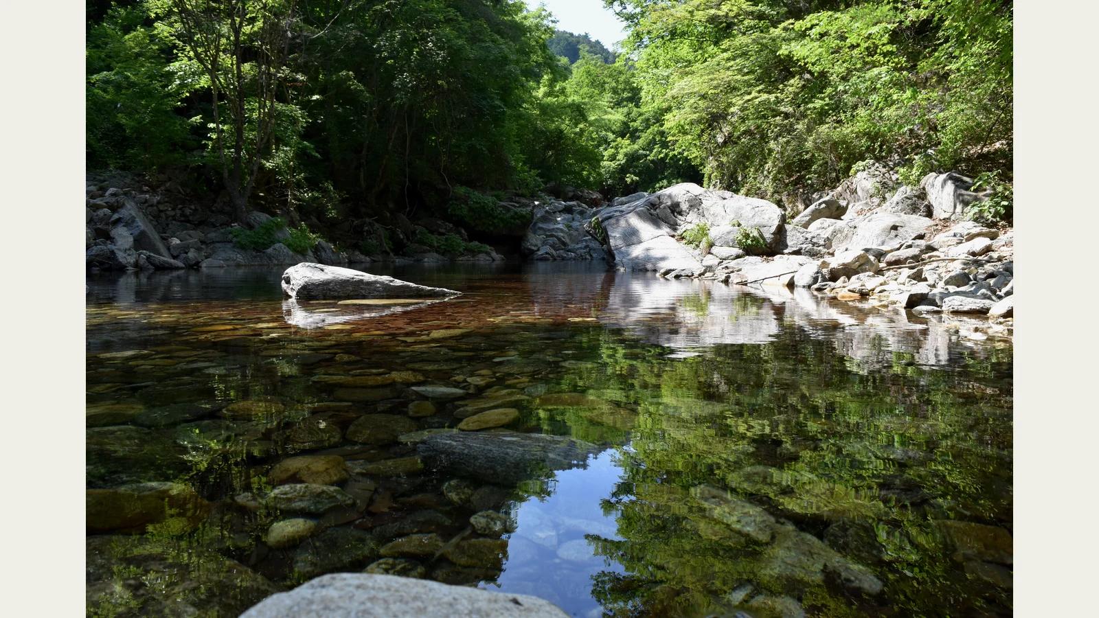
A wider view lets you carry the observation horizontally. The fourth photograph combines an exposed rock, stones along the opposite bank and their reflections below. Follow that arrangement from the foreground towards the woodland. There is distance to read within a relatively small space. Crossing onto the rocks is unnecessary. One person may notice moving reflections, another the way a rock divides the view. Compare those first impressions while standing together. This is a simple way to give a shared pause a purpose without turning the outing into a lesson or a competition to take the best photograph.
Under overhanging leaves, compare water reached by sunlight with water in shade. In the fifth photograph, foliage forms an upper edge and the stream bends between pale rocks and darker stones. An autumn outing need not depend on finding red leaves. Look at the direction of branches, the brightness of rock surfaces and the ground actually in front of you. Watch your footing where wet leaves collect. If wind makes a long stop uncomfortable, move to a suitable resting place rather than adding another destination. The season can shape how you walk without requiring the landscape to reproduce a particular colour scheme.
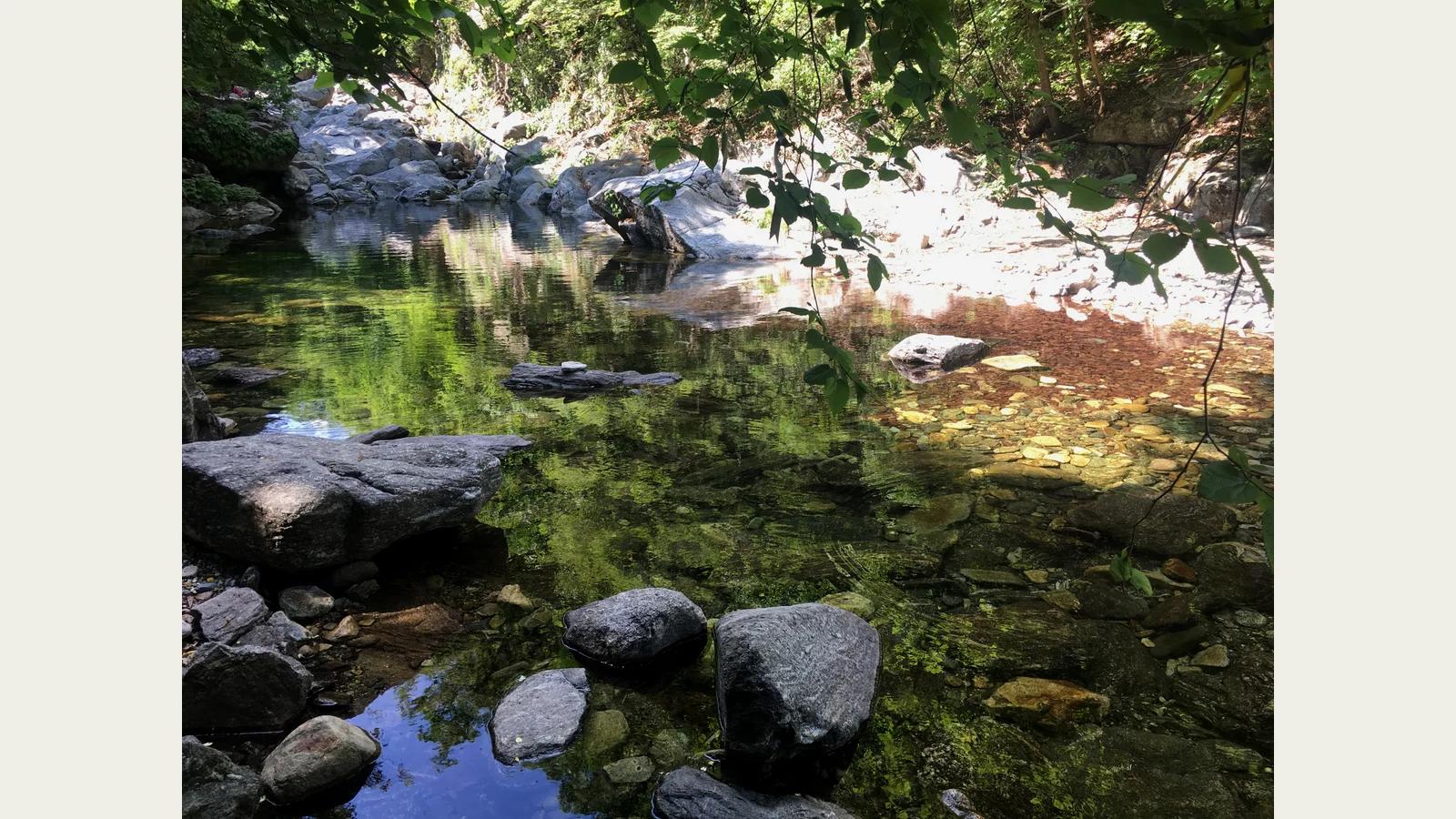
Rest where stopping is permitted and does not obstruct the path. The sixth photograph brings bright leaves above a dark pool into the same view. In a suitable resting area, drink some water, adjust your clothing and check how the group feels. A stepping stone or a narrow crossing is not a place to sit. Put the phone away briefly and consider whether the sound changed as you moved along the valley. There is no promise of birdsong or a particular wildlife encounter. Attend to what you can actually hear and see, including an ordinary ripple crossing an otherwise quiet surface.
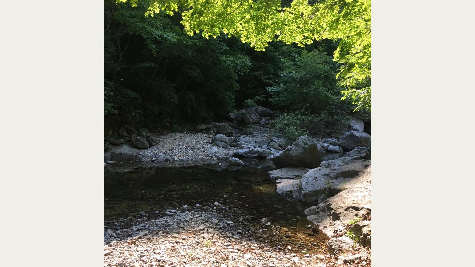
If you want to continue, check the next section against the current map. The provincial park guide describes stepping-stone crossings and a suspension bridge on Myeongpum Valley Trail. Those features do not make every part equally suitable for every visitor. Anyone using a walking aid, or uncomfortable with crossings, should ask staff about an appropriate section before setting out. Footwear, weather and balance matter as much as a route description. You can finish after a satisfying short walk rather than extend it solely to see a bridge. A summit climb or ridge traverse belongs to a different plan.
On the return, change the subject of your attention. The seventh photograph shows a broad gravel margin between dark water and the shaded bank. If you watched the water on the way in, look at the height of the opposite trees or the distribution of stones on the way out. Returning along the same path offers a different sequence of views. Exposed gravel in an image does not establish a place where visitors may step down today. Stay within the permitted route and avoid using the stream margin as a shortcut. Let the time you kept in reserve make the return unhurried.
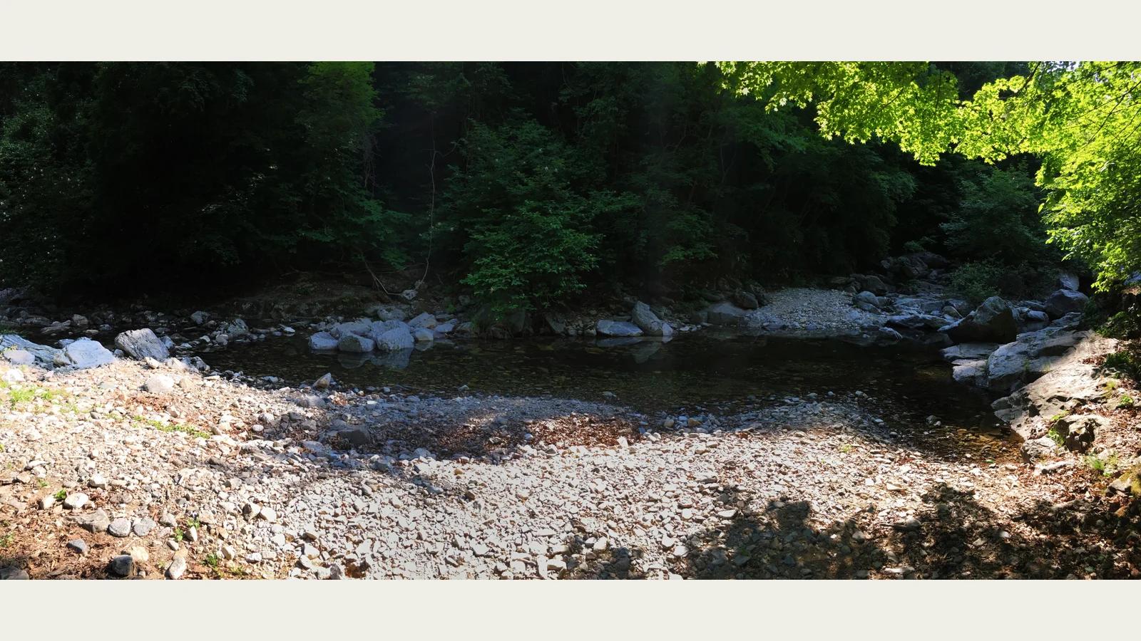
Place the main meal outside the valley walk. Decide whether to eat in Gapyeong-eup before arriving or return there afterwards, so that food fits the transport plan. Check the restaurant's opening information and last orders, and choose according to the group's appetite and preferences. This guide makes no claims about an unverified restaurant's flavour, menu or prices. Bring drinking water and a modest snack for the walk, with a bag for taking packaging away. Cooking beside the stream is not part of the outing. A separate meal stop also gives tired companions a clear next destination once you leave the path.
Before departure, bring together three practical decisions: the section you intend to walk, the return connection, and the weather and access information. Do not rely on walking after dark or reaching every point marked on a map. Yongchu Valley gives you another measure of a day: the particular bend where water passes a boulder, or a reflection that becomes visible when you stop. If stones that first looked interchangeable acquire different positions and shapes in your memory, you have found something worth seeing. The distance covered need not be the most interesting fact about the outing.
Carry that interest in stones and the spaces between them into the garden at Chiong Art Center. In the valley, rocks reveal the direction of moving water; around a hanok courtyard, stones can draw attention to where a person looks or moves. The connection is in the relationships made by the same material within different surroundings. Read Chiong's introduction and visitor guidance when planning a visit. Moving your attention from a large stream boulder to a smaller garden stone gives you a concrete question to continue exploring, rather than another attraction to tick off a list.